 EEA geospatial data catalogue
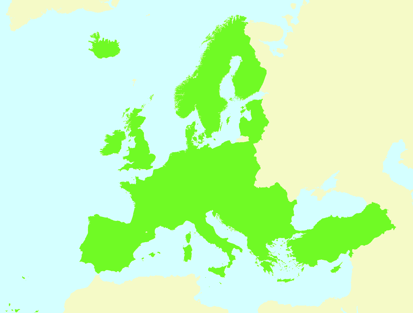
CLC 2012 reference land mask (resolution 100m), Jan. 2017
The CLC2012 land mask is a dataset derived from CLC2012 intended to be used as a reference dataset for data harmonisation within the EEA. It is a mask where all pixels with any valid land cover class value in CLC2012, except for class 523 - Sea and ocean, get a value of "1". The rest of pixels get a "0". In other words, land areas with CLC2012 data are identified with the value "1", whereas sea areas and areas with no CLC2012 data available get a value of "0".
Simple
Identification info
- Date (Publication)
- 2017-10-01
- Date (Creation)
- 2017-01-01
- Edition
-
01.00
- Citation identifier
- eea_r_3035_100_m_clc12-landmask_p_2016_v01_r00
- Point of contact
-
Organisation Individual Electronic mail address Website Role European Environment Agency
Point of contact European Environment Agency
Custodian
- Spatial representation type
- Grid
Spatial resolution
- Spatial resolution
- 100 m
- Topic category
-
- Environment
Extent
))
Extent
Temporal extent
- Time period
- 2016-01-01 2016-12-31
- Maintenance and update frequency
- As needed
- GEMET - INSPIRE themes, version 1.0
-
-
Land cover
-
- GEMET
-
-
land cover
-
- Continents, countries, sea regions of the world.
-
-
EEA32 (2006-2013)
-
- EEA topics
-
-
Land use
-
Seas and coasts
-
Resource constraints
- Use constraints
- Other restrictions
- Other constraints
-
License CC-BY 4.0 ( https://creativecommons.org/licenses/by/4.0/). Copyright holder: European Environment Agency (EEA).
Resource constraints
- Access constraints
- Other restrictions
- Other constraints
- no limitations to public access
- Language
- English
- Character encoding
- UTF8
Data quality info
- Hierarchy level
- Dataset
Report
Result
- Title
-
Commission Regulation (EU) No 1089/2010 of 23 November 2010 implementing Directive 2007/2/EC of the European Parliament and of the Council as regards interoperability of spatial data sets and services
- Date (Publication)
- 2010-12-08
- Explanation
-
See the referenced specification
Resource lineage
- Statement
-
Created from CLC2012 v 18_5 raster 100m data, by means of a reclassification in ArcGIS. All pixels with any valid land cover class value in CLC2012, except for class 523 - Sea and ocean, get a value of "1". The rest of pixels get a "0". In other words, land areas with CLC2012 data are identified with the value "1", whereas sea areas and areas with no CLC2012 data available get a value of "0".
- Hierarchy level
- Dataset
Reference System Information
Reference System Information
- Code
- EPSG:3035
Metadata
- Metadata identifier
- 228e9bf2-0b81-4506-ab72-d42dd2ad19b6
- Language
- English
- Character encoding
- UTF8
- Contact
-
Organisation Individual Electronic mail address Website Role European Environment Agency
Point of contact
Type of resource
- Resource type
- Dataset
- Metadata linkage
-
https://sdi.eea.europa.eu/catalogue/srv/api/records/228e9bf2-0b81-4506-ab72-d42dd2ad19b6
- Date info (Creation)
- 2018-03-07T14:23:56Z
- Date info (Revision)
- 2025-10-09T10:40:43.893287Z
Metadata standard
- Title
-
ISO 19115/19139
- Edition
-
1.0
)))