 EEA geospatial data catalogue
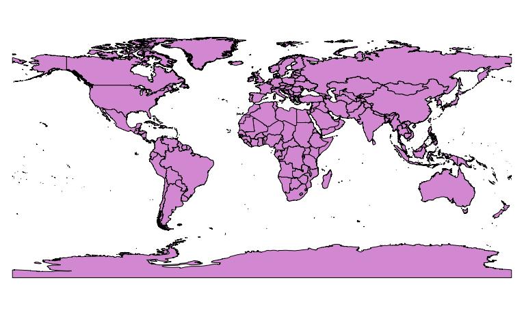
Administrative units 2010 at country level (1:1M) including Kosovo (UNSCR 1244/99), Oct. 2012
This dataset adds the delineation of a Kosovo under United Nations Security Council Resolution 1244/99 feature to the administrative units at country level from 2010 dataset provided by GISCO.
The country identifier (cntr_id) for the Kosovo under United Nations Security Council Resolution 1244/99 feature is set to 'XK' and its associated object_id to 999.
Users should pay attention to the existence of another feature with cntr_id set to 'XK' in Africa (associated object_id: 245).
The Kosovo under United Nations Security Council Resolution 1244/99 feature has been delineated using the boundaries of the following communes extracted from the administrative units at commune level from 2010 provided by GISCO:
comm_id
---------
RS01, RS02, RS03, RS04, RS05, RS06, RS07, RS08, RS09, RS10, RS11, RS12, RS13, RS14, RS15, RS16, RS17, RS18, RS19, RS20, RS21, RS22, RS23, RS24, RS25, RS26, RS27, RS28, RS29, RS30, RS31, RS32, RS33, RS34, RS35, RS36, RS37
Simple
Identification info
- Date (Creation)
- 2012-10-03
- Citation identifier
- eea_v_4258_1_mio_gisco-admin-boundaries-kosovo_p_2010_V01_r00
- Status
- Superseded
- Point of contact
-
Organisation Individual Electronic mail address Website Role European Environment Agency
Point of contact European Environment Agency
Custodian
- Spatial representation type
- Vector
Spatial resolution
Equivalent scale
- Denominator
- 1000000
- Topic category
-
- Boundaries
Extent
))
Extent
Temporal extent
- Time period
- 2010-01-01 2010-12-31
- GEMET - INSPIRE themes, version 1.0
-
-
Administrative units
-
- GEMET
-
-
administrative boundary
-
Resource constraints
- Use limitation
-
This data set should be referred to as "Countries, 2010 - European Commission, Eurostat/GISCO. Elaboration by EEA 2012."
An overview of the use conditions is given below. The detailed use conditions are available here: https://circabc.europa.eu/d/d/workspace/SpacesStore/6f5186f3-908b-413a-8687-191604976751/EuroGeographics%20Use%20Conditions%20-%20From%20Contract.pdf Access to the detailed data is restricted to the personnel of the European Commission, the Executive Agencies and contractors, due to intellectual property rights. The contractors can access the data after signing an agreement form. The agreement form can be requested by the responsible service from European Commission - Eurostat/GISCO ( ESTAT-GISCO@ec.europa.eu). Once the form has been signed, access will be provided by European Commission - Eurostat/GISCO. Data can be published in the form of electronic images, statistical tables and on paper. Subsets of this data can be made available to the general public for non commercial use, only if the data covered either has a spatial resolution of 1:1.000.000 or smaller, or less than 20% of the original EuroGeographics data is shown for the selected extent. The source and intellectual property have always to be acknowledged. To this end, an acknowledgement as specified below must be visible on any printed or electronic publication using the data. Acknowledgement notice, depending on the language used in the publication: English: Administrative boundaries: © EuroGeographics, © FAO (UN), © TurkStat Source: European Commission – Eurostat/GISCO French: Limites administratives: © EuroGeographics, © FAO (UN), © TurkStat Source: Commission européenne – Eurostat/GISCO German: Verwaltungsgrenzen: © EuroGeographics, © FAO (UN), © TurkStat Quelle: Europäische Kommission - Eurostat/GISCO For publications in languages other than English, French or German, the translation of the acknowledgement notice in the language of the publication must be used.
Resource constraints
- Access constraints
- intellectualPropertyRights
- Language
- English
- Character encoding
- UTF8
Data quality info
- Hierarchy level
- Dataset
Report
Result
- Title
-
Commission Regulation (EU) No 1089/2010 of 23 November 2010 implementing Directive 2007/2/EC of the European Parliament and of the Council as regards interoperability of spatial data sets and services
- Date (Publication)
- 2010-12-08
- Explanation
-
See the referenced specification
Resource lineage
- Statement
-
+ Selection of the relevant commune features (ref. abstract) followed by agregation of the commune features in an unique polygon to form Kosovo under United Nations Security Council Resolution 1244/99 administrative boundary feature, both for 100K and 1M.
+ Creation of the boundary line between the newly created Kosovo under United Nations Security Council Resolution 1244/99 feature and remaining commune features of Serbia, both for 100K and 1M.
+ Split of Serbia feature with the boundary line, both for 100K and 1M.
- Hierarchy level
- Dataset
Reference System Information
- Reference system identifier
- OGP Surveying & Positioning Committee/urn:ogc:def:crs:EPSG:7.1:4258
Metadata
- Metadata identifier
- af23e943-253e-4681-a22d-9ba131cd48a9
- Language
- English
- Character encoding
- UTF8
- Contact
-
Organisation Individual Electronic mail address Website Role European Environment Agency
Point of contact
Type of resource
- Resource type
- Dataset
- Metadata linkage
-
https://sdi.eea.europa.eu/catalogue/srv/api/records/af23e943-253e-4681-a22d-9ba131cd48a9
- Date info (Creation)
- 2012-10-03T14:28:02Z
- Date info (Revision)
- 2025-10-09T11:08:58.297949Z
Metadata standard
- Title
-
ISO 19115/19139
- Edition
-
1.0
)))