 EEA geospatial data catalogue
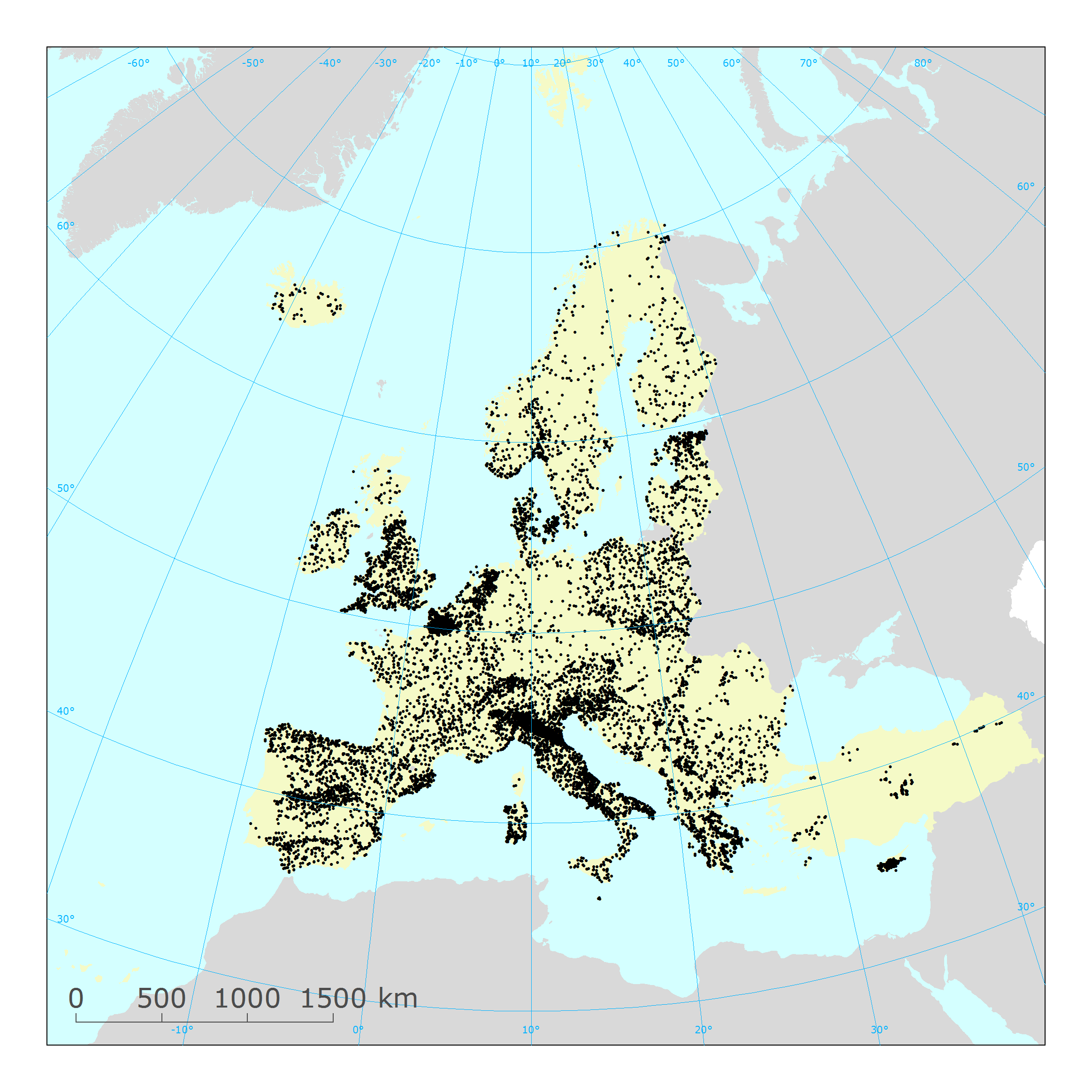
EIONET monitoring sites
The service contains information on European surface water and groundwater monitoring sites reported to the European Environment Agency.
The information was reported to the European Environment Agency under the State of Environment reporting obligations.
For the EU27 countries, Iceland, Norway and the United Kingdom, the EIONET spatial data was consolidated with the spatial data reported under the Water Framework Directive reporting obligations. For these countries, the reference spatial data set is the "WISE WFD Reference Spatial Datasets reported under Water Framework Directive".
Relevant concepts:
Surface water body: Body of surface water means a discrete and significant element of surface water such as a lake, a reservoir, a stream, river or canal, part of a stream, river or canal, a transitional water or a stretch of coastal water.
Surface water: Inland waters, except groundwater; transitional waters and coastal waters, except in respect of chemical status for which it shall also include territorial waters.
Groundwater body: 'Body of groundwater' means a distinct volume of groundwater within an aquifer or aquifers.
Groundwater: All water which is below the surface of the ground in the saturation zone and in direct contact with the ground or subsoil.
Simple
Identification info
- Date (Publication)
- 2018-09-15
- Date (Revision)
- 2021-03-01
- Citation identifier
- eea_v_4326_250_k_wise-eion-mon-sites-ser_p_2001-now_v01_r01
- Citation identifier
- DAT-204-en
- Point of contact
-
Organisation Individual Electronic mail address Website Role European Environment Agency
Point of contact
- Topic category
-
- Environment
Extent
))
Temporal extent
- Time period
- 2001-11-29 2021-03-01
- GEMET
-
-
groundwater
-
surface water
-
water resources management
-
monitoring station
-
- GEMET - INSPIRE themes, version 1.0
-
-
Environmental monitoring facilities
-
- Continents, countries, sea regions of the world.
-
-
EEA38 (from 2020)
-
United Kingdom
-
- Spatial scope
-
-
European
-
- EEA Management Plan
-
-
2022 1.1.2
-
- EEA topics
-
-
Water
-
Resource constraints
- Access constraints
- Other restrictions
- Other constraints
- no limitations to public access
Resource constraints
- Use constraints
- Other restrictions
- Other constraints
-
No limitations in the use of this web service.
Associated resource
- Association Type
- Cross reference
- Metadata Reference
- Language
- English
Distribution Information
Data quality info
- Hierarchy level
- Dataset
Report
Result
- Title
- Commission Regulation (EU) No 1089/2010 of 23 November 2010 implementing Directive 2007/2/EC of the European Parliament and of the Council as regards interoperability of spatial data sets and services
- Date (Publication)
- 2010-12-08
- Explanation
-
See the referenced specification
Resource lineage
- Statement
-
For more information about the lineage of the datasets provided via this web service, please consult the associated metadata of the dataset.
- Hierarchy level
- Dataset
Reference System Information
Reference System Information
- Code
- EPSG:4326
Reference System Information
Reference System Information
- Code
- EPSG:3857
Reference System Information
Reference System Information
- Code
- EPSG:102100
Reference System Information
- Reference system identifier
- CRS:84
Metadata
- Metadata identifier
- 29e08b66-e6f6-4b4f-95ad-b582d9fe3df5
- Language
- English
- Character encoding
- UTF8
- Contact
-
Organisation Individual Electronic mail address Website Role European Environment Agency
Point of contact
Type of resource
- Resource type
- Dataset
- Metadata linkage
-
https://sdi.eea.europa.eu/catalogue/srv/api/records/29e08b66-e6f6-4b4f-95ad-b582d9fe3df5
- Date info (Creation)
- 2020-05-04T08:01:51Z
- Date info (Revision)
- 2025-10-09T10:42:26.030412Z
Metadata standard
- Title
-
ISO 19119/19139
- Edition
-
1.0
)))