 EEA geospatial data catalogue
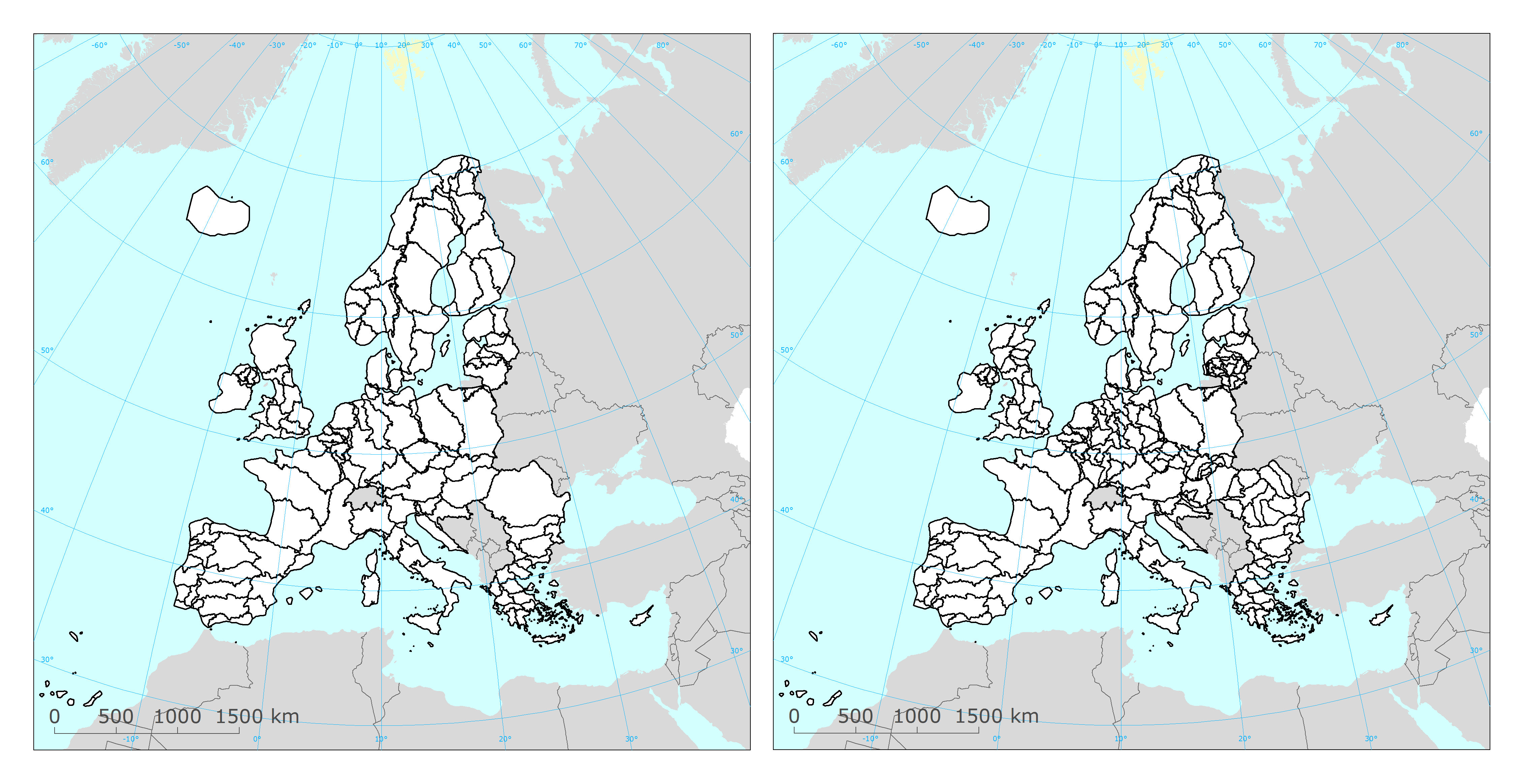
WISE WFD river basin district and river basin district sub-units reported under Water Framework Directive 2016
The service contains information on the European river basin district and river basin district sub-units delineated for the 2nd River Basin Management Plans (RBMP) under the Water Framework Directive (WFD).
The information was reported to the European Commission under the Water Framework Directive (WFD) reporting obligations.
The dataset compiles the available spatial data related to the 2nd RBMPs due in 2016 (hereafter WFD2016). See http://rod.eionet.europa.eu/obligations/715 for further information on the WFD2016 reporting.
Relevant concepts:
River basin district (RBD): The area of land and sea, made up of one or more neighbouring river basins together with their associated groundwaters and coastal waters, which is the main unit for management of river basins.
River basin: The area of land from which all surface run-off flows through a sequence of streams, rivers and, possibly, lakes into the sea at a single river mouth, estuary or delta.
Sub-basin: The area of land from which all surface run-off flows through a series of streams, rivers and, possibly, lakes to a particular point in a water course (normally a lake or a river confluence).
Sub-unit [Operational definition. Not in the WFD]: Reporting unit. River basin districts larger than 50000 square kilometre should be divided into comparable sub-units with an area between 5000 and 50000 square kilometre. The sub-units should be created using river basins (if more than one river basin exists in the RBD), set of contiguous river basins, or sub-basins, for example. If the RBD area is less than 50000 square kilometre, the RBD itself should be used as a sub-unit.
Simple
Identification info
- Date (Publication)
- 2019-04-15
- Citation identifier
- eea_v_4326_250_k_wise-river-basin-districts-subunits-wfd2016_service
- Status
- Obsolete
- Point of contact
-
Organisation Individual Electronic mail address Website Role European Environment Agency
Point of contact
- Topic category
-
- Environment
- Inland waters
- Geoscientific information
Extent
))
Temporal extent
- Time period
- 2016-05-05 2019-03-31
- GEMET
-
-
water resources management
-
river basin
-
water
-
river basin management
-
Water Framework Directive
-
altitude
-
- GEMET - INSPIRE themes, version 1.0
-
-
Area management/restriction/regulation zones and reporting units
-
- Continents, countries, sea regions of the world.
-
-
Lithuania
-
Luxembourg
-
Romania
-
Austria
-
Greece
-
France
-
Iceland
-
Bulgaria
-
Ireland
-
Estonia
-
Malta
-
Norway
-
Spain
-
Poland
-
Hungary
-
Slovenia
-
Belgium
-
Cyprus
-
Czechia
-
Croatia
-
Netherlands
-
United Kingdom
-
Portugal
-
Sweden
-
Denmark
-
Germany
-
Slovakia
-
Latvia
-
Finland
-
Italy
-
- Spatial scope
-
-
European
-
- INSPIRE priority data set
-
-
Directive 2000/60/EC
-
River basin districts (Water Framework Directive)
-
River basin districts sub-units (Water Framework Directive)
-
- EEA topics
-
-
Water
-
Resource constraints
- Access constraints
- Other restrictions
- Other constraints
- no limitations to public access
Resource constraints
- Use constraints
- Other restrictions
- Other constraints
-
No limitations in the use of this web service.
- Language
- English
- Character encoding
- UTF8
Data quality info
- Hierarchy level
- Dataset
Report
Result
- Date (Publication)
- 2010-12-08
- Explanation
-
See the referenced specification
Resource lineage
- Statement
-
For more information about the lineage of the datasets provided via this web service, please consult the associated metadata of the dataset.
- Hierarchy level
- Dataset
Reference System Information
Reference System Information
- Code
- EPSG:4326
Reference System Information
Reference System Information
- Code
- EPSG:3857
Reference System Information
Reference System Information
- Code
- EPSG:102100
Reference System Information
- Reference system identifier
- CRS:84
Metadata
- Metadata identifier
- 4097ed98-1a2c-4bda-84ad-c82a2da9bd51
- Language
- English
- Character encoding
- UTF8
- Contact
-
Organisation Individual Electronic mail address Website Role European Environment Agency
Point of contact
Type of resource
- Resource type
- Dataset
- Metadata linkage
-
https://sdi.eea.europa.eu/catalogue/srv/api/records/4097ed98-1a2c-4bda-84ad-c82a2da9bd51
- Date info (Creation)
- 2020-03-26T09:24:48Z
- Date info (Revision)
- 2025-10-09T10:46:50.964457Z
Metadata standard
- Title
-
ISO 19119/19139
- Edition
-
1.0
)))