 EEA geospatial data catalogue
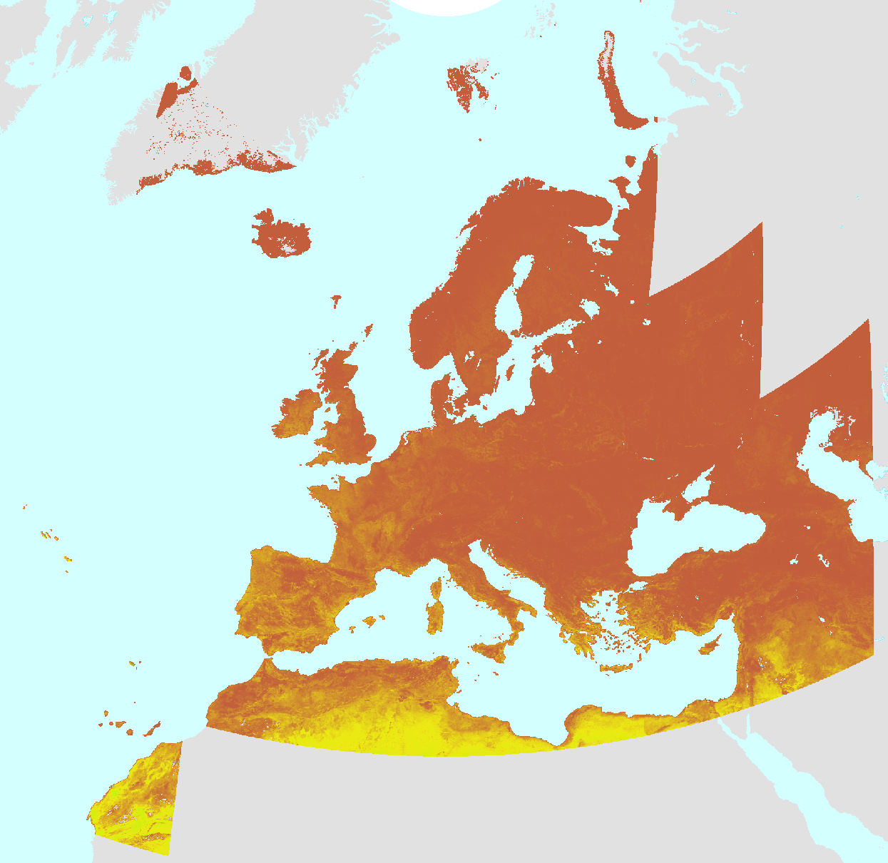
Medium Resolution Vegetation Phenology and Productivity
The Copernicus Land Monitoring Service (CLMS) provides geographical information on land cover and its changes, land use, vegetation state, water cycle and earth surface energy variables to a broad range of users in Europe and across the world in the field of environmental terrestrial applications. CLMS is jointly implemented by the European Environment Agency and the European Commission DG Joint Research Centre (JRC). The Medium-Resolution Vegetation Phenology and Productivity product suite is part of the European Union’s Copernicus Land Monitoring Service.
The dataset includes annual Medium-Resolution Vegetation Phenology and Productivity (MR-VPP) parameters as well as seasonal trajectories of the plant phenology index (PPI) outputs, along with quality flags. MR-VPP is produced over the EEA38 + UK area.
Simple
Identification info
- Date (Publication)
- 2022-10-10
- Citation identifier
- copernicus_mrvpp_s
- Citation identifier
- DAT-279-en
- Spatial representation type
- Grid
- Topic category
-
- Climatology, meteorology, atmosphere
- Environment
- Imagery base maps earth cover
Extent
))
Temporal extent
- Time period
- 2000-01-01 2025-12-31
Associated resource
- Association Type
- Is composed of
Associated resource
- Association Type
- Is composed of
Associated resource
- Association Type
- Is composed of
Associated resource
- Association Type
- Is composed of
Associated resource
- Association Type
- Is composed of
Associated resource
- Association Type
- Is composed of
Associated resource
- Association Type
- Is composed of
Associated resource
- Association Type
- Is composed of
Associated resource
- Association Type
- Is composed of
Associated resource
- Association Type
- Is composed of
Associated resource
- Association Type
- Is composed of
Associated resource
- Association Type
- Is composed of
Associated resource
- Association Type
- Is composed of
Associated resource
- Association Type
- Is composed of
Associated resource
- Association Type
- Is composed of
Associated resource
- Association Type
- Is composed of
Associated resource
- Association Type
- Is composed of
Associated resource
- Association Type
- Is composed of
Associated resource
- Association Type
- Is composed of
Associated resource
- Association Type
- Is composed of
Associated resource
- Association Type
- Is composed of
Associated resource
- Association Type
- Is composed of
Associated resource
- Association Type
- Is composed of
Associated resource
- Association Type
- Is composed of
Associated resource
- Association Type
- Is composed of
Associated resource
- Association Type
- Is composed of
Associated resource
- Association Type
- Is composed of
Associated resource
- Association Type
- Is composed of
Associated resource
- Association Type
- Is composed of
Associated resource
- Association Type
- Is composed of
Associated resource
- Association Type
- Is composed of
Associated resource
- Association Type
- Is composed of
Associated resource
- Association Type
- Is composed of
Associated resource
- Association Type
- Is composed of
Associated resource
- Association Type
- Is composed of
Associated resource
- Association Type
- Is composed of
Associated resource
- Association Type
- Is composed of
Associated resource
- Association Type
- Is composed of
Associated resource
- Association Type
- Is composed of
Associated resource
- Association Type
- Is composed of
Associated resource
- Association Type
- Is composed of
Associated resource
- Association Type
- Is composed of
Associated resource
- Association Type
- Is composed of
Associated resource
- Association Type
- Is composed of
Associated resource
- Association Type
- Is composed of
Associated resource
- Association Type
- Is composed of
- Language
- English
- Character encoding
- UTF8
Metadata
- Metadata identifier
- fc62ff38-d77b-452e-9878-acdd14f91b3b
- Language
- English
- Character encoding
- UTF8
Type of resource
- Resource type
- Series
- Date info (Creation)
- 2023-02-20T10:59:07.518Z
- Date info (Revision)
- 2026-07-13T12:38:36.333595Z
Metadata standard
- Title
-
ISO 19115-3:2018
- Edition
-
1.0
)))