 EEA geospatial data catalogue
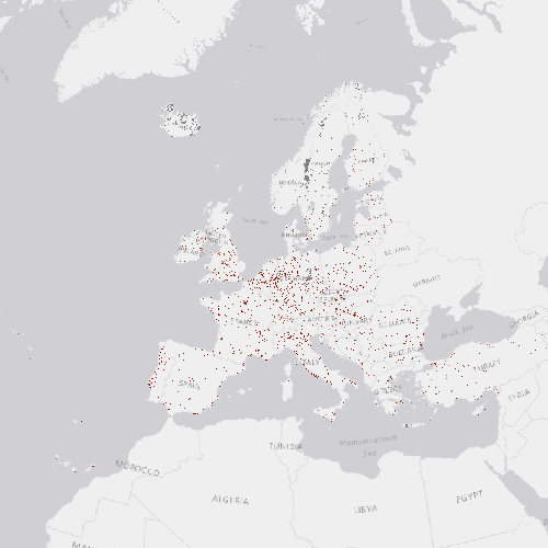
High Resolution Layer: Imperviousness Degree 2012 (raster 100m), Apr. 2016
Imperviousness Degree (IMD) 2012 is a raster data set showing the degree of soil sealing (imperviousness) ranging from 0 - 100% in 20m x 20m and 100m x 100m spatial resolution for the 2012 reference year. This product is extracted from High Resolution satellite data and other available data sources for the area of the EEA39 (39 member states and affiliated countries to the European Environment Agency). It is based primarily on the analysis of NDVI (Normalized Difference Vegetation Index) and uses the previous Imperviousness Degree (MD) 2009 product. All NDVI images are calibrated with the Imperviousness 2009 data, and built-up change candidates are mapped. The 100m x 100m product is produced by updating the 2009 aggregated imperviousness layer by adding the aggregated 100m x 100m imperviousness change layer (2009-2012) to the latter. This way, consistency between the 100m x 100m imperviousness layers will be maintained.
The production of the Imperviousness Degree (IMD) 2012 was coordinated by the European Environment Agency (EEA) in the frame of the EU Copernicus programme.
Simple
Identification info
- Date (Creation)
- 2016-04-05
- Date (Publication)
- 2016-04-05
- Edition
-
xx.xx
- Citation identifier
- copernicus_r_3035_100_m_imd-2012_p_2011-2012_vxx_rxx
- Status
- Obsolete
- Point of contact
-
Organisation Individual Electronic mail address Website Role European Commission
Owner Copernicus Land Monitoring Service
Custodian European Environment Agency
Publisher Copernicus Land Monitoring Service helpdesk
Point of contact
- Spatial representation type
- Grid
Spatial resolution
- Spatial resolution
- 100 m
- Topic category
-
- Environment
- Imagery base maps earth cover
Extent
Temporal extent
- Time period
- 2011-01-01 2012-12-31
Extent
))
))
- Maintenance and update frequency
- Continual
- GEMET - INSPIRE themes, version 1.0
-
-
Land cover
-
- Continents, countries, sea regions of the world.
-
-
EEA39
-
- GEMET
-
-
urban area
-
land cover
-
landscape alteration
-
land use
-
soil surface sealing
-
sealing
-
built environment
-
- EEA topics
-
-
Land use
-
Resource constraints
- Access constraints
- Other restrictions
- Other constraints
- no limitations to public access
Resource constraints
- Use constraints
- Other restrictions
- Other constraints
-
The Copernicus component is governed by Regulation (EU) No 2021/696 of the European Parliament and of the Council of 28 April 2021 establishing the Union Space Programme and the European Union Agency for the Space Programme and repealing Regulations (EU) No 912/2010, (EU) No 1285/2013 and (EU) No 377/2014 and Decision No 541/2014/EU. Within the Copernicus component, a portfolio of land monitoring activities has been delegated by the European Union to the European Environment Agency (EEA) and the DG Joint Research Centre of the European Commission.
The Copernicus land monitoring products and services are made available on a principle of full, open and free access, as established by the Commission Delegated Regulation (EU) No 1159/2013 of 12 July 2013.
Free, full and open access to the products and services of the Copernicus Land Monitoring Service is made on the conditions that:
1. When distributing or communicating Copernicus Land Monitoring Service products and services (data, software scripts, web services, user and methodological documentation and similar) to the public, users shall inform the public of the source of these products and services.
2. Where the Copernicus Land Monitoring Service products and services have been adapted or modified by the user, the user shall clearly state this.
3. Users shall make sure not to convey the impression to the public that the user's activities are officially endorsed by the European Union.
Associated resource
- Association Type
- Cross reference
- Metadata Reference
- Language
- English
- Character encoding
- UTF8
Distribution Information
- Distribution format
-
-
GeoTIFF
-
- Ordering instructions
-
This dataset is no longer accessible from the website of the Copernicus Land Monitoring Service. You can request access to this dataset by contacting the service desk of the Copernicus Land Monitoring Service at JRC-Copernicus-Land@ec.europa.eu.
Data quality info
- Hierarchy level
- Dataset
Report
Result
- Title
-
Commission Regulation (EU) No 1089/2010 of 23 November 2010 implementing Directive 2007/2/EC of the European Parliament and of the Council as regards interoperability of spatial data sets and services
- Date (Publication)
- 2010-12-08
- Explanation
-
See the referenced specification
Resource lineage
- Statement
-
Semi-automatic classification of NDVI multispectral satellite data (derived from Image 2012). Step-wise enhancement using CLC 2006/2012 and mitigation (cloud-/gap-filling) with additional EO data and subsequently final integration to a European mosaic.
- Hierarchy level
- Dataset
Reference System Information
Reference System Information
- Code
- EPSG:3035
- Maintenance and update frequency
Metadata
- Metadata identifier
- 2a16fabe-c0f3-4faa-9d99-38982bd3dc1a
- Language
- English
- Character encoding
- UTF8
- Contact
-
Organisation Individual Electronic mail address Website Role European Environment Agency
Point of contact
Type of resource
- Resource type
- Dataset
- Metadata linkage
-
https://sdi.eea.europa.eu/catalogue/srv/api/records/2a16fabe-c0f3-4faa-9d99-38982bd3dc1a
- Date info (Creation)
- 2018-07-02T11:10:26Z
- Date info (Revision)
- 2025-10-09T10:42:29.95701Z
Metadata standard
- Title
-
ISO 19115/19139
- Edition
-
1.0
),POLYGON((44.8212%2034.5619,44.8212%2071.1855,-10.6198%2071.1855,-10.6198%2034.5619,44.8212%2034.5619))))