 EEA geospatial data catalogue
MSFD (Article 4) marine regions - version 2, June 2017
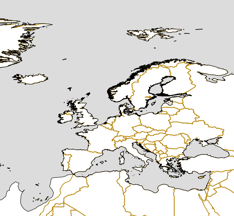
In the Marine Strategy Framework Directive - MSFD (Directive 2008/56/EC of the European Parliament and of the Council of 17 June 2008 establishing a framework for community action in the field of marine environmental policy), the following four marine regions are listed (art. 4): Baltic Sea, North-east Atlantic Ocean, Mediterranean Sea and the Black Sea. The present layer provides the spatial extent of these regions, as agreed by the MSFD Committee in November 2016.
Simple
Identification info
- Date (Publication)
- 2017-06-01
- Date (Creation)
- 2017-06-01
- Edition
-
2
- Citation identifier
- eea_v_4258_100_k_msfd-marine-regions_p_2010-2017_V01_r02
- Status
- Superseded
- Point of contact
-
Organisation Individual Electronic mail address Website Role European Environment Agency
Point of contact
- Spatial representation type
- Vector
Spatial resolution
Equivalent scale
- Denominator
- 100000
- Topic category
-
- Environment
- Geoscientific information
Extent
))
Extent
Temporal extent
- Time period
- 2010-01-01 2017-02-28
- Maintenance and update frequency
- As needed
- EEA topics
-
-
Water
-
- GEMET - INSPIRE themes, version 1.0
-
-
Sea regions
-
Area management/restriction/regulation zones and reporting units
-
- GEMET
-
-
marine environment
-
sea
-
- Continents, countries, sea regions of the world.
-
-
Northeast Atlantic Ocean (40W)
-
Mediterranean Sea
-
Black Sea
-
Baltic Sea
-
Resource constraints
- Use constraints
- Other restrictions
- Other constraints
-
License CC-BY 4.0 ( https://creativecommons.org/licenses/by/4.0/). Copyright holder: European Environment Agency (EEA).
Resource constraints
- Access constraints
- Other restrictions
- Other constraints
- no limitations to public access
Associated resource
- Association Type
- Revision Of
- Metadata Reference
- Language
- English
- Character encoding
- UTF8
Distribution Information
- Distribution format
-
-
SHP
-
- OnLine resource
-
Direct download (Eionet authentication)
Data quality info
- Hierarchy level
- Dataset
Report
Result
- Title
-
Commission Regulation (EU) No 1089/2010 of 23 November 2010 implementing Directive 2007/2/EC of the European Parliament and of the Council as regards interoperability of spatial data sets and services
- Date (Publication)
- 2010-12-08
- Explanation
-
See the referenced specification
Resource lineage
- Statement
-
The delineation of the marine regions under the MSFD has been developed since 2010 based on multiple inputs from Member State representatives participating in groups defined under the MSFD Common Implementation Strategy, reporting under the MSFD Initial Assessment, ICES advice and Marine Regions. The process has especially been developed under the MSFD CIS Working Group on Data, Information and Knowledge Exchange (WGDIKE) through documents DIKE 3/2011/06 from 5-6th September 2011, DIKE 4/2011/05 from 7-8th November 2011, DIKE 5/2012/08 from 12-13th March 2012, DIKE TG1/2012/04 from 4th July 2012 and, lastly, DIKE 6/2012/11 from 30-31th October 2012. Since then, it has been developed through cooperation between DG ENV, EEA and the ETC-ICM (via ICES as an ETC-ICM partner) and a consultation with Member States in 2015. A map with the layers of marine regions and subregions has also been through a Commission inter-service consultation with all DG’s led by DG ENV, and adopted by EU Member States in the MSFD Committee in November 2016. The boundaries between marine regions have, to the extent possible, been harmonised with existing boundaries established under the Regional Sea Conventions, the biogeographic boundaries established under the Habitats Directive and the boundaries of marine waters reported by EU Member States under the MSFD. The ICES ecoregions are being aligned with the MSFD region and subregion boundaries.
The inner boundary of all regions and subregions has used the “EEA coastline for analysis” available at ( http://www.eea.europa.eu/data-and-maps/data/eea-coastline-for-analysis/); this is a practical solution because the MSFD inner boundary formally follows that defined for coastal waters under the Water Framework Directive, for which a consistent boundary is not yet available.
The layer should be used on the following basis:
a. It is intended for the sole purpose of supporting the implementation of the MSFD by Member States, stakeholders and the European Commission and its agencies.
b. It provides the boundaries of the marine regions, as listed in MSFD Article 4. In accordance with MSFD Article 4(1), Member States shall, when implementing the MSFD, take due account of the fact that their marine waters form an integral part of these marine regions. The marine regions layer is meant to depict the marine regions that Member States shall take due account of, including in relation to transboundary effects on the quality of the marine environment of third States in the same marine region, in accordance with MSFD Article 2(1).
c. It is not intended to provide boundaries of the marine waters of Member States as defined under MSFD Article 3(1). This means that the layer does not represent the geographic scope of application of the MSFD as the MSFD only applies to Member States' marine waters, which are understood to lie within the marine regions. Further, in those areas of Member States' marine waters, the layer makes no distinction between the jurisdiction over both the water column and the seabed or only the seabed.
d. As such the layer should not be understood as representing international marine borders. To this end, the following disclaimer will accompany the layer: "This layer serves as a working tool only and shall not be considered as an official or legally-binding layer representing marine borders in accordance with international law. This layer shall be used without prejudice to the agreements that will be concluded between Member States or between Member States and non-EU states in respect of their marine borders.".
e. As they are not intended to provide boundaries of Member States' marine waters, the landward boundaries used do not constitute the formal boundary of these marine waters, but instead uses a harmonised coastline boundary for cartographic consistency.
f. Notwithstanding the need to update the layer, the boundaries of the marine regions should be periodically reviewed to ensure they serve the purposes of the MSFD, and in particular an ecosystem-based approach to management of the marine environment. Such review should be undertaken in advance of the periodic updates of Article 8 and take into account the latest scientific evidence on the characteristics of the marine ecosystems, as reflected in MSFD Art. 3(2).
Finally, the following note is relevant for the understanding of the layer:
-The seas of Azov and Marmara do not fall within the geographic scope of application of the Bucharest Convention. Therefore, even if they have the same themId as the Black Sea region (BLK), they have been assigned different localId (BLKa and BLKm respectively), in order to differentiate them.
The link to the web map, as well as the document describing the geometric delineation of the marine regions and subregions and the process that led to an agreement on the boundaries are available at the following link: https://www.eea.europa.eu/data-and-maps/data/msfd-regions-and-subregions-1
- Hierarchy level
- Dataset
Reference System Information
- Reference system identifier
- OGP Surveying & Positioning Committee/urn:ogc:def:crs:EPSG:7.1:4258
Reference System Information
Reference System Information
- Code
- EPSG:4326
Metadata
- Metadata identifier
- 92540373-d8ea-4d70-aa7d-0f58ecd4f67f
- Language
- English
- Character encoding
- UTF8
- Contact
-
Organisation Individual Electronic mail address Website Role European Environment Agency
Point of contact
Type of resource
- Resource type
- Dataset
- Metadata linkage
-
https://sdi.eea.europa.eu/catalogue/srv/api/records/92540373-d8ea-4d70-aa7d-0f58ecd4f67f
- Date info (Creation)
- 2017-08-30T14:24:32Z
- Date info (Revision)
- 2025-10-09T11:03:43.63547Z
Metadata standard
- Title
-
ISO 19115/19139
- Edition
-
1.0
)))