 EEA geospatial data catalogue
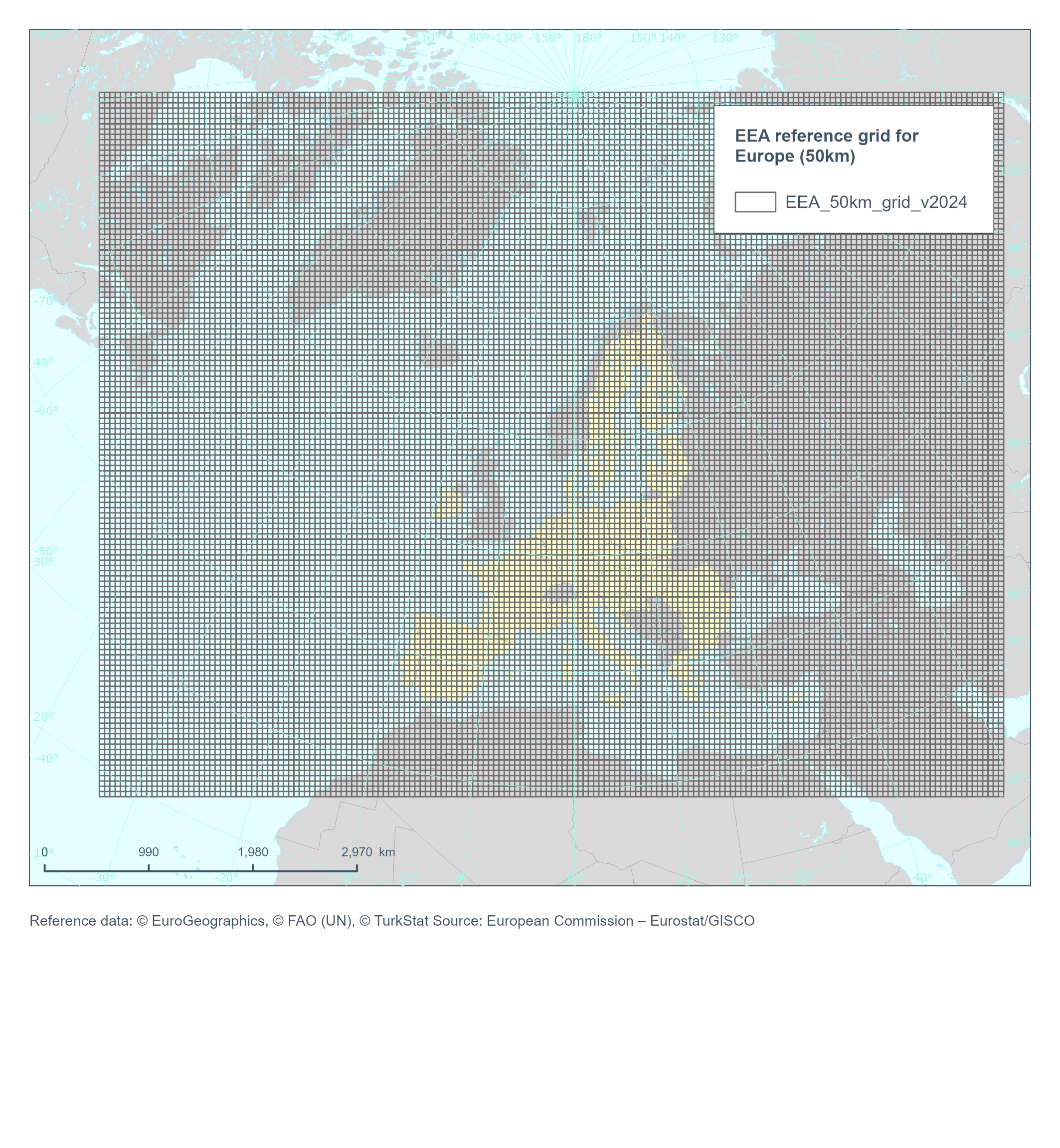
EEA reference grid for Europe (50km), Jun. 2024
This dataset is an INSPIRE compatible vector grid of 50 km covering the whole of Europe. The coordinate reference system (CRS) is ETRS89-LAEA Europe, also known in the EPSG Geodetic Parameter Dataset under the identifier: EPSG:3035.
Note: This version holds correction for errors in the grid cell codes detected in the 2018 version.
Simple
Identification info
- Date (Creation)
- 2024-05-29
- Date (Publication)
- 2024-06-07
- Edition
-
01.00
- Citation identifier
- eea_v_3035_50_km_eea-ref-grid-europe_p_2024_v01_r00
Identifier
- Point of contact
-
Organisation Individual Electronic mail address Website Role European Environment Agency
Point of contact European Environment Agency
Custodian
- Spatial representation type
- Vector
Spatial resolution
- Spatial resolution
- 50 km
- Topic category
-
- Location
- Geoscientific information
Extent
))
Extent
Temporal extent
- Time period
- 2024-01-01
- GEMET - INSPIRE themes, version 1.0
-
-
Geographical grid systems
-
- Continents, countries, sea regions of the world.
-
-
Europe
-
- GEMET
-
-
GEMET themes
-
- EEA Management Plan
-
-
2024 6.4.3
-
Resource constraints
- Access constraints
- Other restrictions
- Other constraints
- no limitations to public access
Resource constraints
- Use constraints
- Other restrictions
- Other constraints
-
License CC-BY 4.0 ( https://creativecommons.org/licenses/by/4.0/). Copyright holder: European Environment Agency (EEA).
- Language
- English
- Character encoding
- UTF8
Data quality info
- Hierarchy level
- Dataset
Report
Result
- Title
- INSPIRE Specification on Geographical Grid Systems - Guidelines
- Date (Publication)
- 2010-04-26
- Explanation
-
See the referenced specification
- Pass
- true
Report
Result
- Title
- Commission Regulation (EU) No 1089/2010 of 23 November 2010 implementing Directive 2007/2/EC of the European Parliament and of the Council as regards interoperability of spatial data sets and services
- Date (Publication)
- 2010-12-08
- Explanation
-
See the referenced specification
Resource lineage
- Statement
-
The reference grids are based on ETRS89 Lambert Azimuthal Equal Area projection with parameters: latitude of origin 52°N, longitude of origin 10°E, false northing 3210000.0m, false easting 4321000.0m. Origin of the grid is calculated from 0mN 0mE of projection. The method followed the instructions for the EEA fishnet tool described in the EEA Reference grid definition available in the link section.
- Hierarchy level
- Dataset
Reference System Information
Reference System Information
- Code
- EPSG:3035
Metadata
- Metadata identifier
- aac8379a-5c4e-445c-b2ef-23a6a2701ef0
- Language
- English
- Character encoding
- UTF8
- Contact
-
Organisation Individual Electronic mail address Website Role European Environment Agency
Point of contact
Type of resource
- Resource type
- Dataset
- Metadata linkage
-
https://sdi.eea.europa.eu/catalogue/srv/api/records/aac8379a-5c4e-445c-b2ef-23a6a2701ef0
- Date info (Creation)
- 2024-06-06T12:07:29.877364Z
- Date info (Revision)
- 2025-10-09T11:07:59.503222Z
Metadata standard
- Title
-
ISO 19115/19139
- Edition
-
1.0
)))