 EEA geospatial data catalogue
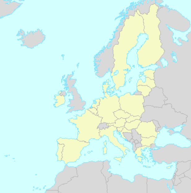
EU27_2020 basemap for EEA internal use
This Discomap web map service provides an EU-27 (2020) basemap for internal EEA use as a background layer in viewers or any other web application.
It is provided as REST and as OGC WMS services, dynamic and cached. The cached service has a custom cache at the following scales: 1/50.000.000 1/42.000.000 1/36.000.000 (Europe's size) 1/30.000.000 1/20.000.000 1/10.000.000 1/5.000.000 1/2.500.000 1/1.000.000.
Simple
Identification info
- Date (Publication)
- 2020-02-01
- Citation identifier
- eea_v_4326_1_mio_EU27-2020-basemap_i_2020_v01_r00
- Point of contact
-
Organisation Individual Electronic mail address Website Role European Environment Agency
Point of contact
- Topic category
-
- Environment
Extent
))
Temporal extent
- Time period
- 2020-02-01
- GEMET
-
-
administrative boundary
-
national boundary
-
Europe
-
- GEMET - INSPIRE themes, version 1.0
-
-
Administrative units
-
- Continents, countries, sea regions of the world.
-
-
Cyprus
-
Romania
-
Portugal
-
Luxembourg
-
Austria
-
Germany
-
Denmark
-
Sweden
-
Finland
-
Czechia
-
Poland
-
Slovakia
-
Slovenia
-
Hungary
-
Belgium
-
Bulgaria
-
Croatia
-
France
-
Italy
-
Greece
-
Malta
-
Estonia
-
Latvia
-
Netherlands
-
Ireland
-
Spain
-
Lithuania
-
- Spatial scope
-
-
European
-
- EEA topics
-
-
Land use
-
Resource constraints
- Access constraints
- Other restrictions
- Other constraints
- no limitations to public access
Resource constraints
- Use constraints
- Other restrictions
- Other constraints
-
Only for internal EEA use.
- Language
- English
- Character encoding
- UTF8
Data quality info
- Hierarchy level
- Dataset
Report
Result
- Date (Publication)
- 2010-12-08
- Explanation
-
See the referenced specification
Reference System Information
Reference System Information
- Code
- EPSG:3857
Reference System Information
Reference System Information
- Code
- EPSG:102100
Reference System Information
Reference System Information
- Code
- EPSG:4326
Metadata
- Metadata identifier
- af4c4fd6-0485-45c8-b6bc-8a8ed12aa3eb
- Language
- English
- Character encoding
- UTF8
- Contact
-
Organisation Individual Electronic mail address Website Role European Environment Agency
Point of contact
Type of resource
- Resource type
- Dataset
- Metadata linkage
-
https://sdi.eea.europa.eu/catalogue/srv/api/records/af4c4fd6-0485-45c8-b6bc-8a8ed12aa3eb
- Date info (Creation)
- 2020-03-25T13:45:56Z
- Date info (Revision)
- 2025-10-09T11:09:04.8933Z
Metadata standard
- Title
-
ISO 19119/19139
- Edition
-
1.0
)))