 EEA geospatial data catalogue
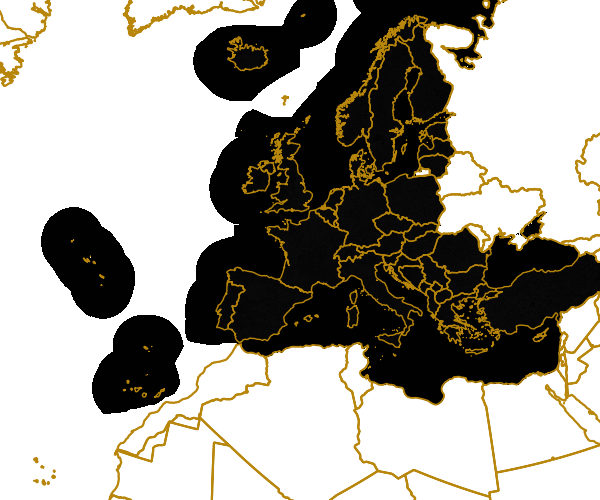
Ecosystem types of Europe - version 2.1, Dec. 2015
The data set combines the Corine based MAES (Mapping and Assessment of Ecosystems and their Services) ecosystem classes with the non-spatial EUNIS habitat classification for a better biological characterization of ecosystems across Europe (EEA-39). As such it represents probabilities of EUNIS habitat presence for each MAES ecosystem type.
The data set aims to combine spatially explicit land cover information with non-spatially referenced habitat information to improve our knowledge about ecosystems and their distribution across Europe. The work supports the MAES process, Target 2 Action 5 of the implementation of the EU Biodiversity Strategy to 2020, established to achieve the Aichi targets of the Convention of Biological Diversity (CBD).
The objective of the ecosystem data set produced by EEA and its Topic Centre ETC/SIA was to improve the biological description of land cover based ecosystem types. It represents probabilities of EUNIS habitat presence in ecosystem types at European level. Since it is not based on spatial explicit mapping the spatial and thematic accuracy is not of same quality as delineated maps.
The MAES ecosystem typology differentiates three levels: whereas the level 2 of the MAES proposal follows closely the EUNIS level 1, the third level of the MAES typology corresponds to the EUNIS level 2. This level will be the base for the mapping approach.
Simple
Identification info
- Date (Publication)
- 2015-12-08
- Date (Creation)
- 2015-12-08
- Edition
-
2.1
- Citation identifier
- eea_r_3035_100_m_ecosystem-types_p_2006_v02_r01
- Status
- Superseded
- Point of contact
-
Organisation Individual Electronic mail address Website Role European Environment Agency
Point of contact European Environment Agency
Custodian
- Spatial representation type
- Grid
Spatial resolution
- Spatial resolution
- 100 m
- Topic category
-
- Biota
- Environment
Extent
))
Extent
Temporal extent
- Time period
- 2006-01-01 2006-12-31
- Maintenance and update frequency
- As needed
- EEA topics
-
-
Biodiversity
-
- GEMET - INSPIRE themes, version 1.0
-
-
Habitats and biotopes
-
Land cover
-
- GEMET
-
-
ecosystem
-
land cover
-
habitat
-
environmental assessment
-
ecosystem type
-
ecosystem services
-
Resource constraints
- Use constraints
- Other restrictions
- Other constraints
-
License CC-BY 4.0 ( https://creativecommons.org/licenses/by/4.0/). Copyright holder: European Environment Agency (EEA).
Resource constraints
- Access constraints
- Other restrictions
- Other constraints
- no limitations to public access
Associated resource
- Association Type
- Is composed of
Associated resource
- Association Type
- Is composed of
Associated resource
- Association Type
- Is composed of
- Language
- English
- Character encoding
- UTF8
Data quality info
- Hierarchy level
- Dataset
Report
Result
- Title
-
Commission Regulation (EU) No 1089/2010 of 23 November 2010 implementing Directive 2007/2/EC of the European Parliament and of the Council as regards interoperability of spatial data sets and services
- Date (Publication)
- 2010-12-08
- Explanation
-
See the referenced specification
Resource lineage
- Statement
-
The data set production implied 2 steps. First re-classification of CORINE Land Cover 2006 and bathymetry data using the 7 terrestrial (urban, cropland, grassland, woodland and forest, heathland and shrub, sparsely vegetated land, wetland), 1 freshwater (river and lakes), and 4 marine (marine inlets and transitional waters, coastal, shelf, open ocean) classes of the MAES ecosystem typology (Maes et al., 2013). The classes also provide links to major policy lines such as agriculture, forestry, territorial cohesion, water and marine related policies. The second step comprised refinement of the ecosystem types by attributing EUNIS habitat information to each ecosystem type (see http://eunis.eea.europa.eu/habitats.jsp). The refinement process used reference data such as potential natural vegetation, elevation, slope, aspect, soil, geology, environmental regions and other spatial referenced information which allowed attribution of the EUNIS habitat characteristics to the spatial mapping units of the MAES ecosystem types. The geometric and thematic accuracy of EUNIS class presence was also estimated and mapped. The method is described in the EEA Technical Report 06/2015: European Ecosystem Assessment – Concept, Data, and Implementation.
The basis for the update was CORINE land cover 2006 (CLC 2006). It includes Albania, Austria, Belgium, Bosnia and Herzegovina, Bulgaria, Croatia, Cyprus, Czech Republic, Denmark, Estonia, Finland, France, Germany, Hungary, Iceland, Ireland, Italy, Kosovo (under UNSCR 1244/99), Latvia, Liechtenstein, Lithuania, Luxembourg, the North Macedonia, Malta, Montenegro, the Netherlands, Norway, Poland, Portugal, Romania, Serbia, Slovakia, Slovenia, Spain, Sweden, Switzerland, Türkiye and the United Kingdom. For Greece that has not participated in the CLC 2006 activity the CLC 2000 data was used instead.
- Hierarchy level
- Dataset
Reference System Information
Reference System Information
- Code
- EPSG:3035
Metadata
- Metadata identifier
- df69de7e-3af1-4b4d-94d4-8bebe84c80b0
- Language
- English
- Character encoding
- UTF8
- Contact
-
Organisation Individual Electronic mail address Website Role European Environment Agency
Point of contact
Type of resource
- Resource type
- Dataset
- Metadata linkage
-
https://sdi.eea.europa.eu/catalogue/srv/api/records/df69de7e-3af1-4b4d-94d4-8bebe84c80b0
- Date info (Creation)
- 2015-12-08T11:35:24Z
- Date info (Revision)
- 2025-10-09T11:18:59.412307Z
Metadata standard
- Title
-
ISO 19115/19139
- Edition
-
1.0
)))