 EEA geospatial data catalogue
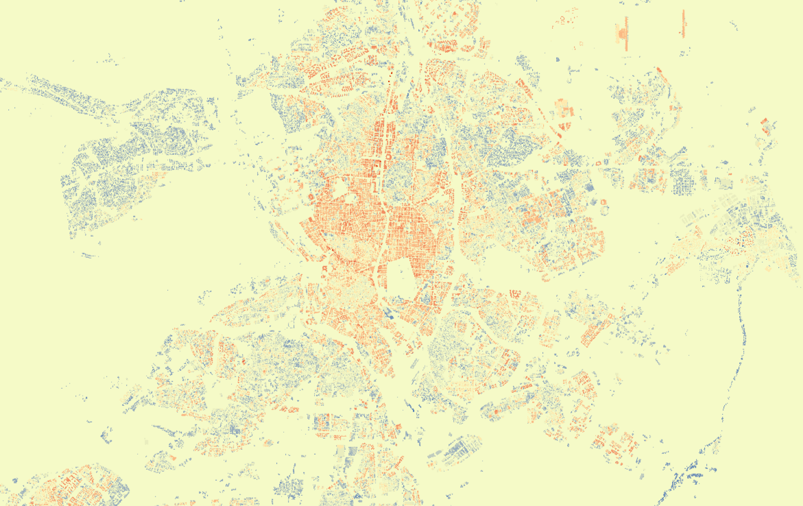
Urban Atlas
The Urban Atlas provides pan-European comparable land cover and land use information for the selected Functional Urban Areas (FUA) in Europe and the United Kingdom.
The product had a six years update cycle between 2006 and 2018 and a 3 years update cycle from 2018. It is available for the 2006, 2012, 2018 and 2021 reference years including the change layers.
For the 2012, 2018 and 2021 reference years a derived from FUAs separate street tree layer is available, and for the 2012 reference year the product suite is complemented with Building Height layer.
The Urban Atlas is a joint initiative of the DG REGIO and the European Union’s Copernicus Land Monitoring Service.
Simple
Identification info
- Date (Publication)
- 2026-01-31
- Citation identifier
- copernicus_urban-atlas_s
- Citation identifier
- DAT-190-en
- Point of contact
-
Organisation Individual Electronic mail address Website Role Copernicus Land Monitoring Service
Custodian Copernicus Land Monitoring Service
Custodian European Environment Agency
Publisher
- Spatial representation type
- Grid
- Spatial representation type
- Vector
Spatial resolution
Equivalent scale
- Denominator
- 10000
Spatial resolution
Equivalent scale
- Denominator
- 5000
- Topic category
-
- Elevation
- Environment
- Imagery base maps earth cover
Extent
))
))
))
))
))
))
))
))
))
))
))
))
))
))
Temporal extent
- Time period
- 2005-01-01 2007-12-31
Temporal extent
- Time period
- 2005-01-01 2013-12-31
Temporal extent
- Time period
- 2011-01-01 2013-12-31
Temporal extent
- Time period
- 2011-01-01 2014-12-31
Temporal extent
- Time period
- 2011-01-01 2019-12-31
Temporal extent
- Time period
- 2012-01-01 2014-12-31
Temporal extent
- Time period
- 2017-01-01 2018-12-31
Temporal extent
- Time period
- 2017-01-01 2019-12-31
Temporal extent
- Time period
- 2018-01-01 2021-12-31
Temporal extent
- Time period
- 2020-01-01 2021-12-31
Temporal extent
- Time period
- 2020-01-01 2022-12-31
- Continents, countries, sea regions of the world.
-
-
Switzerland
-
United Kingdom
-
Albania
-
Norway
-
Serbia
-
Bosnia and Herzegovina
-
Türkiye
-
EU27 (from 2020)
-
Iceland
-
North Macedonia
-
Kosovo (UNSCR 1244/99)
-
Montenegro
-
EEA38 (from 2020)
-
EEA39
-
EU27 (2007-2013)
- United Kingdom
- EEA38 (from 2020)
-
- EEA Management Plan
-
-
2018 3.6.2
-
- EEA topics
-
- Land use
-
Land use
-
Buildings and construction
-
Environmental health impacts
-
Urban sustainability
- GEMET
-
- building
- landscape alteration
- model
- land use
- land cover
- urban area
-
land
-
land use
-
landscape alteration
-
land cover
-
urban area
-
model
-
building
- land
- GEMET - INSPIRE themes, version 1.0
-
- Land use
- Elevation
-
Land use
-
Land cover
-
Elevation
- Land cover
Associated resource
- Association Type
- Is composed of
- Metadata Reference
Associated resource
- Association Type
- Is composed of
- Metadata Reference
Associated resource
- Association Type
- Is composed of
- Metadata Reference
Associated resource
- Association Type
- Is composed of
Associated resource
- Association Type
- Is composed of
- Metadata Reference
Associated resource
- Association Type
- Is composed of
- Metadata Reference
Associated resource
- Association Type
- Is composed of
Associated resource
- Association Type
- Is composed of
- Metadata Reference
Associated resource
- Association Type
- Is composed of
Associated resource
- Association Type
- Is composed of
Associated resource
- Association Type
- Is composed of
- Metadata Reference
Associated resource
- Association Type
- Is composed of
- Metadata Reference
Associated resource
- Association Type
- Is composed of
- Metadata Reference
Associated resource
- Association Type
- Is composed of
Associated resource
- Association Type
- Is composed of
Metadata
- Metadata identifier
- e006507d-15c8-49e6-959c-53b61facd873
- Language
- English
- Character encoding
- UTF8
- Contact
-
Organisation Individual Electronic mail address Website Role European Environment Agency
Point of contact
Type of resource
- Resource type
- Series
- Date info (Creation)
- 2022-09-29T14:39:51.423Z
- Date info (Revision)
- 2026-03-31T09:49:25.225988Z
Metadata standard
- Title
-
ISO 19115-3:2018
- Edition
-
1.0
),POLYGON((33.48%2035.07,33.48%2064.38,-22.13%2064.38,-22.13%2035.07,33.48%2035.07)),POLYGON((42.33137%2027.920351,42.33137%2070.248796,-22.378923%2070.248796,-22.378923%2027.920351,42.33137%2027.920351)),POLYGON((42.40862%2027.911684,42.40862%2070.312018,-22.756137%2070.312018,-22.756137%2027.911684,42.40862%2027.911684)),POLYGON((43.85301%2027.911684,43.85301%2070.312018,-22.756137%2070.312018,-22.756137%2027.911684,43.85301%2027.911684)),POLYGON((43.2%2035.3,43.2%2070.31,-25.85%2070.31,-25.85%2035.3,43.2%2035.3)),POLYGON((43.853%2027.9117,43.853%2070.312,-25.857%2070.312,-25.857%2027.9117,43.853%2027.9117)),POLYGON((-13.4198%2027.6375,-13.4198%2066.5662,-31.2684%2066.5662,-31.2684%2027.6375,-13.4198%2027.6375)),POLYGON((55.8%20-21,55.8%2071.3,-61.23%2071.3,-61.23%20-21,55.8%20-21)),POLYGON((55.8%20-21.1,55.8%2071.3,-61.23%2071.3,-61.23%20-21.1,55.8%20-21.1)),POLYGON((55.8%20-21.2,55.8%2070.3,-61.23%2070.3,-61.23%20-21.2,55.8%20-21.2)),POLYGON((-60.6807%2014.3109,-60.6807%2014.9152,-61.2564%2014.9152,-61.2564%2014.3109,-60.6807%2014.3109)),POLYGON((55.7689%20-21.2979,55.7689%20-20.7244,55.3183%20-20.7244,55.3183%20-21.2979,55.7689%20-21.2979)),POLYGON((55.769%20-21.2979,55.769%20-20.7244,55.3183%20-20.7244,55.3183%20-21.2979,55.769%20-21.2979))))