 EEA geospatial data catalogue
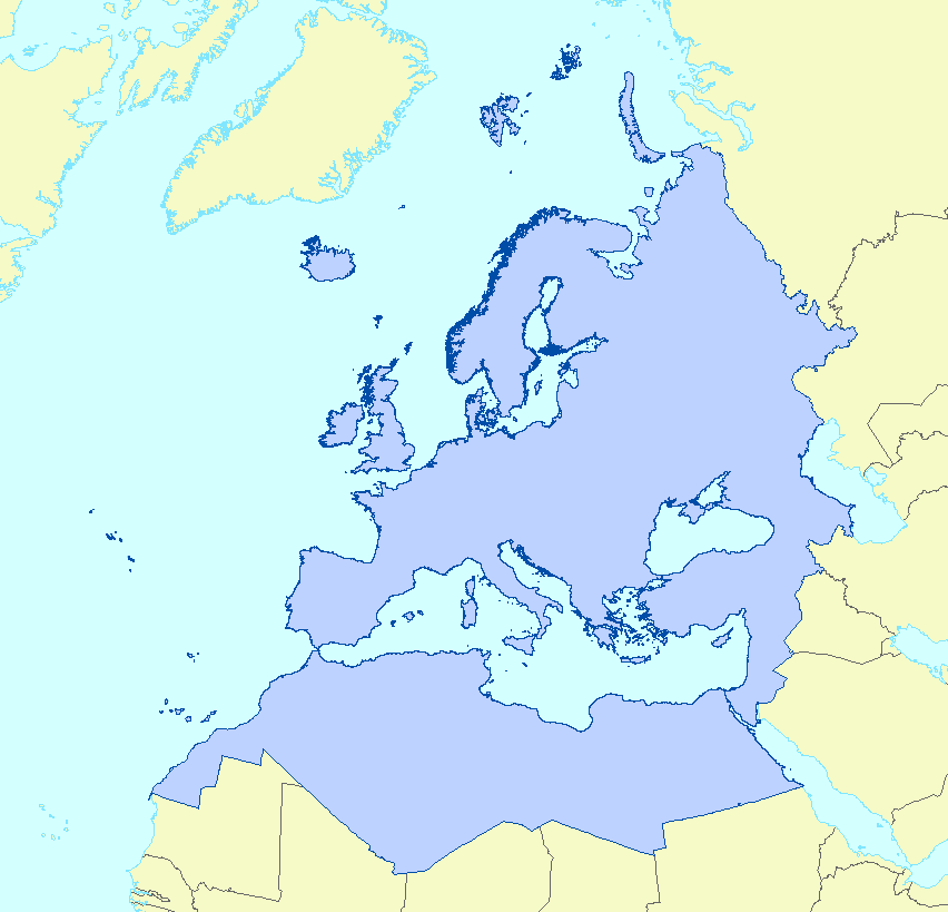
EEA coastline for analysis
The series of EEA coastline datasets has been created for detailed analysis. The coastline is a hybrid product obtained from satellite imagery from two projects: EUHYDRO (Pan-European hydrographic and drainage database) and GSHHG (A Global Self-consistent, Hierarchical, High-resolution Geography Database), as well as some manual amendments to meet requirements from EU Nature Directives, Water Framework Directive and Marine Strategy Framework Directive.
Simple
Identification info
- Date (Publication)
- 2017-03-28
- Citation identifier
- eea_eea-coastline-analysis_s
- Citation identifier
- DAT-132-en
- Point of contact
-
Organisation Individual Electronic mail address Website Role European Environment Agency
Custodian European Environment Agency
Custodian European Environment Agency
Custodian European Environment Agency
Point of contact
- Spatial representation type
- Vector
Spatial resolution
Equivalent scale
- Denominator
- 100000
- Topic category
-
- Elevation
- Oceans
Extent
))
Temporal extent
- Time period
- 1995-08-01 2012-12-31
Temporal extent
- Time period
- 1995-08-01 2017-12-31
- EEA Management Plan
-
-
2018 2.6.1
-
- EEA topics
-
- Seas and coasts
- Biodiversity
-
Biodiversity
- GEMET
-
- coast
- coastal area
-
coast
- GEMET - INSPIRE themes, version 1.0
-
- Sea regions
-
Sea regions
Associated resource
- Association Type
- Is composed of
- Metadata Reference
Associated resource
- Association Type
- Is composed of
- Metadata Reference
Associated resource
- Association Type
- Is composed of
- Metadata Reference
Associated resource
- Association Type
- Is composed of
- Metadata Reference
Associated resource
- Association Type
- Is composed of
- Metadata Reference
Associated resource
- Association Type
- Is composed of
- Metadata Reference
Associated resource
- Association Type
- Is composed of
- Metadata Reference
Associated resource
- Association Type
- Is composed of
- Metadata Reference
Associated resource
- Association Type
- Is composed of
- Metadata Reference
Associated resource
- Association Type
- Is composed of
- Metadata Reference
Metadata
- Metadata identifier
- af40333f-9e94-4926-a4f0-0a787f1d2b8f
- Language
- English
- Character encoding
- UTF8
- Contact
-
Organisation Individual Electronic mail address Website Role European Environment Agency
Point of contact
Type of resource
- Resource type
- Series
- Metadata linkage
-
https://sdi.eea.europa.eu/catalogue/srv/api/records/af40333f-9e94-4926-a4f0-0a787f1d2b8f
- Date info (Creation)
- 2022-09-29T14:19:56.594Z
- Date info (Revision)
- 2026-01-27T14:24:59.002035Z
Metadata standard
- Title
-
ISO 19115-3:2018
- Edition
-
1.0
)))